Welcome to the Two Up Playground. This page will list things we’ve experimented with, as part of our continuing development process. Older projects will be added here, including our LIDAR 3d mapping experiments. Things in the playground may be be built on Open Source and Unstable technologies. You access these at your own risk. Whilst it is unlikely that these will cause any damage, you access anything on these pages at your own risk.
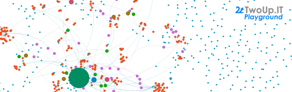
Adventures in sigma.js with Gephi
- Two Up “First Defence” Firewall Analysis (60 days)
- UK Parliamentary Expenses, 2015 – 2016
- Scotland’s Politial Leadership
- Wigan Council, Councillors Expenses
Related posts:
3D Adventures in Three.js with QGIS and LIDAR
Proceed with caution! These are mostly 7MB files (max 18MB), however they utilise your GPU via OpenGL / WebGL to render the finished product. They are all fully Pan/Tilt/Zoomable. All renders contain Buildings and Road data, from Ordnance Survey (© Crown Copyright) and LIDAR from the Environment Agency (© Crown Copyright). Silverdale contains GPS track data by Granulated Photography (© Granulated Photography)
- AWE Aldermaston – 5.3MB
- Alton Towers – 5.6MB
- Blackpool – 10.1MB – May take a while to render after loading. Expect heavy GPU use.
- Edinburgh – 14.9MB – Very GPU intensive. Will freeze the browser on lower spec machines.
- Leigh – 8.9MB
- London – 10.8MB – May take a while to render after loading. Expect heavy GPU use.
- Manchester – 17.6MB – May take a while to render after loading. Expect heavy GPU use.
- NGTE Pyestock – 4.4MB
- Portmeirion – 4.2MB
- Scarborough – 6.2MB
- Sellafield – 1.8MB
- Silverdale (Plotting a drone, render progression)
- Wigan – 5.1MB (LIDAR tile resolution availability)
Related posts: